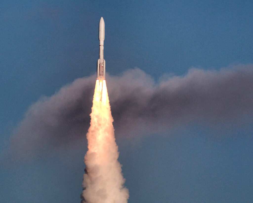
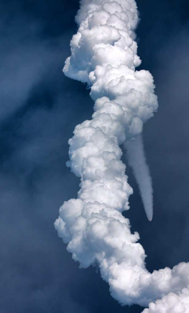
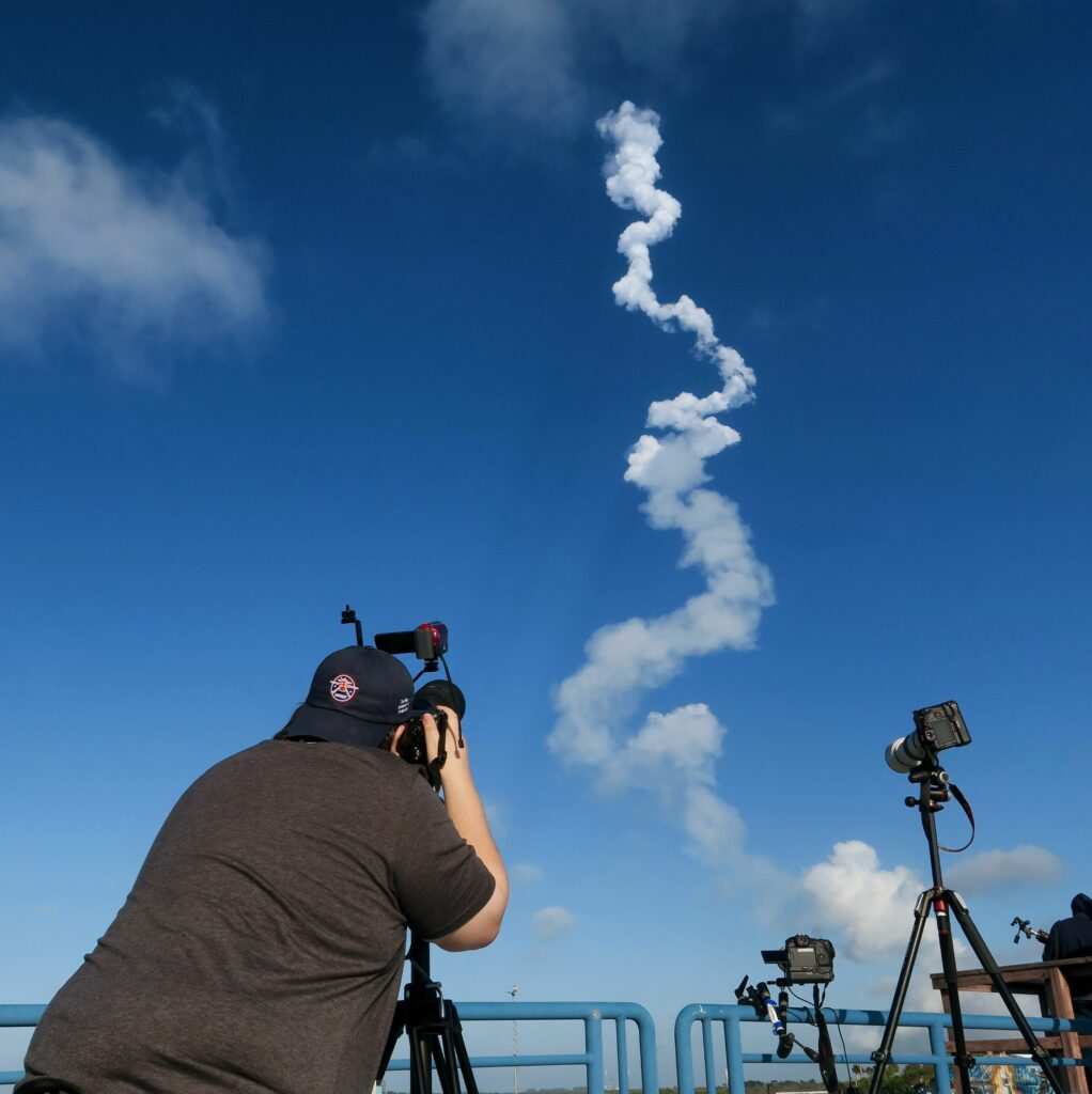
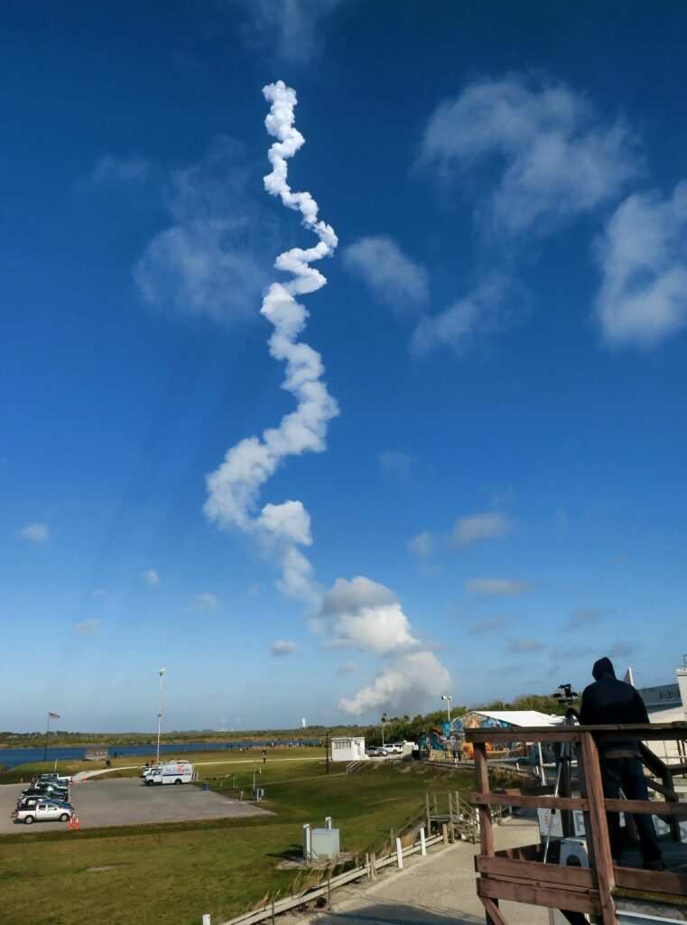
An Atlas V rocket roared off the launch pad Tuesday afternoon from Cape Canaveral Space Force Station carrying an advanced weather satellite high above the Earth.
The rocket successfully lifted off at 4:38 p.m. out of Space Launch Complex 41 blazing a fiery tail through mostly clear and blue skies and marking the second ULA Atlas launch of the year, the 149th flight in United Launch Alliance history and the 92nd overall for that company’s workhorse rocket.

The payload atop the 196-foot tall rocket was the Geostationary Operational Environmental Satellite, or GOES-T — the culmination of multiple organizations laboring over the next generation of weather predictions.
“We do a number of missions here and launch a number of spacecrafts, but this is the one that will most protect lives on Earth. Especially in the U.S. and provide value to so many for its weather forecasts and fire forecasts,” said Dr. Thomas Zurbuchen, NASA’s associate administrator for the science mission directorate.
GOES-T’s launch comes on the heels of a record-breaking year for weather disasters observed in the U.S. Last year, the nation experienced 20 separate billion-dollar weather and climate disasters, according to the National Oceanic and Atmospheric Administration. The record puts 2021 in second place for the most disasters in a calendar year behind 2020.

The NOAA is hoping the GOES-T satellite will be able to give Americans more life-saving information in a climate changing world. The GOES-T satellite is the third in the GOES-R series of four advanced weather satellites, costing a total of $11.7 billion. GOES-T will move to a geostationary position over the western hemisphere where it will collect data on Pacific hurricanes, atmospheric rivers, severe lightning, mudslides, floods and wildfires. The satellite will monitor weather phenomena in the western half of the continental U.S., Alaska, Hawaii, Mexico, Central America and surrounding Pacific Ocean waters.
At launch, Atlas V’s core stage and its four solid rocket boosters produced more than 2.25 million pounds of thrust at liftoff. Almost 2 minutes later, the boosters were jettisoned. Nearly 5 minutes after liftoff, one of Atlas’ three Centaur engines began thrusting the rocket through the atmosphere.

Once it separates from Atlas’ third Centaur engine over the eastern hemisphere, GOES-T will begin its journey into geosynchronous orbit over the western hemisphere where it is planned to operate 22,300 miles above the Earth.
The 11,500 pound, school bus-sized satellite is a collaborative effort by NASA, the NOAA, ULA, L3Harris and Lockheed Martin.
At the heart of GOES-T is a powerful camera known as the Advanced Baseline Imager; also known as the ABI, which offers more embedded data at higher resolution taken in quicker intervals than previous generations of GOES satellites.

GOES-T’s predecessor, GOES-17, experienced degradation in its ABI due to a thermal disruption blocking a flow of coolant. Despite technical issues, GOES-17 is still providing scientists with 90% of potential data, only missing some infrared channels during certain times of the year and certain times of night, said Dan Lindsey, a GOES-R program scientist with the NOAA.
Once GOES-T moves into orbit, it will take on the moniker GOES-18.
“GOES-18 will have a 100% functioning ABI. We won’t have any outages,” he said.
After GOES-T takes its place, GOES-17 will move into “orbit storage,” roughly above Colorado, between GOES west and GOES east, Lindsey said.
“That way if we have future problems with 16 or 18, GOES-17 is sitting there and ready to back up any outages that may happen,” he said.
On Friday, Lindsey and a panel of scientists held a press conference discussing GOES-18′s technological advancements allowing it to deliver 60 times more imagery than the previous generation. Among its many tools, the ABI has16 different kinds of spectral bands including two visible channels, four near-infrared channels, and 10 infrared channels. The previous generation of GOES could only view five different bands.
The new ABI is so powerful, one ABI image would require 60 4K televisions to show the picture in full resolution, said Daniel Gall, the ABI chief systems engineer at L3Harris Technologies. GOES-18 will be capturing storm and climate data every 30 seconds and putting it into the hands of meteorologists, 30 seconds after it’s taken.
Collectively, all of GOES-T’s tools should help meteorologists get a better idea of what weather dangers lie ahead, said NOAA administrator Rick Spinrad.
“If you have multiple views of the planet you have a much better idea of when hurricanes are forming, where they’re forming, how intense they are,” Spinrad said. “Having these multiple ways of looking at the Earth gives us a lot more information for these critical forecasts to save lives, protect property and protect the American public from natural phenomena.”
While GOES-18 will be stationed over western America and studying weather phenomena in the Pacific, the U.S. East Coast will still benefit, as most weather starts in the west and makes its way east, said James Yoe, chief administrator of the Joint Center for Satellite Data Assimilation.
“The exception being African hurricanes,” Yoe said. “We measure conditions over the west today and those are the weather systems that will impact downstream (eastern) weather several days or a week later.”
In addition to the new ABI, GOES-T’s utility belt of tools include a geostationary lightning mapper, a particle flux sensor, a solar irradiance monitor and a magnetometer. The latter three tools would give scientists an extra eye in monitoring solar storms that could potentially harm Earth’s power grids.
“These data, along with the five other instruments on board the spacecraft, are sent out to users, also — provided by L3Harris — combined with the ground systems three-and-a-half terabytes’ worth of data are processed every day,” Gall said.
GOES-T will spend the majority of the year getting ready to become operational. In October, NOAA scientists will take operational reins. It should start sending images by 2023, by which point it would be known as GOES-18. From there, scientists hope the satellite will provide data for agencies and models all over the world until the 2030s when a new generation is planned to take over.
In the meantime, weather researchers and meteorologists are looking forward to the advance strides in weather data that will be aiding Americans next year, said Weather Channel meteorologist Jim Cantore, who gushed with excitement over the GOES-T launch in a video aired by NASA.
“Meteorologists and weather anchors, like me, across the country depend on GOES data to bring you your daily weather forecasts but also to keep you and first responders safe during severe weather events. Accurate and timely forecasts are crucial, and that’s not possible without satellites like this one,” Cantore said. “God speed GOES-T.”
___
© 2022 Orlando Sentinel
Distributed by Tribune Content Agency, LLC


